Project story
From question to working system.
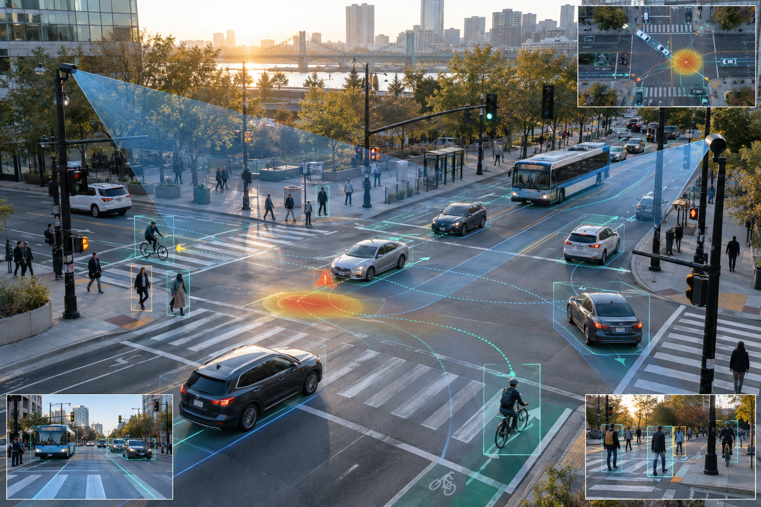
This project develops an end-to-end safety decision-support environment for tribal and rural corridors, where conventional data sources are often sparse and timely intervention can be difficult. Mobile sensing units stream video and status data into computer-vision pipelines for detection, tracking, trajectory prediction, and conflict estimation.
The digital twin combines real observations with geometry, control, multimodal road users, operational conditions, microscopic simulation, surrogate safety measures, and spatial risk maps. It separates micro-level interactions from macro-level corridor patterns so analysts can understand both why risk emerges and where it accumulates.
The next implementation step connects digital-twin intelligence with variable message signs. Example logic can translate elevated approach speed, queues, or pedestrian activity into timely warnings—closing the loop from sensing and analysis to a visible safety intervention.