Overview
Why this research matters.
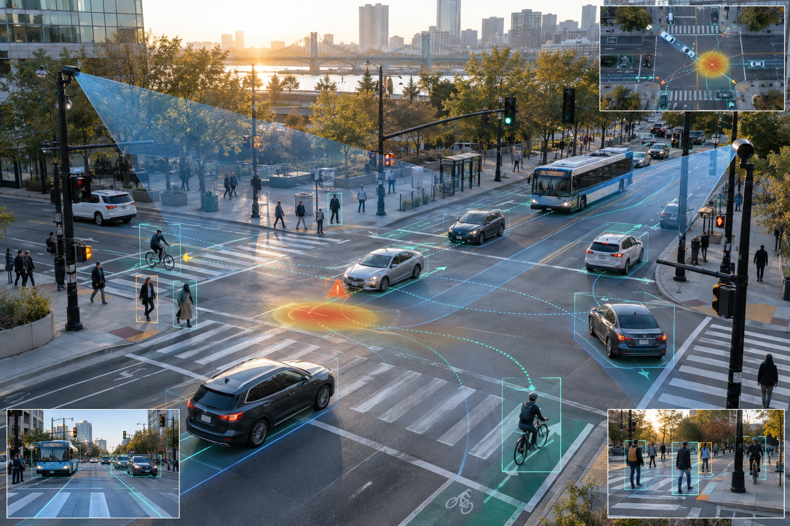
Transportation agencies hold large and growing collections of imagery and sensor data. My research explores how computer vision can convert those sources into structured information about infrastructure, road users, movement, and exposure—without requiring every inventory to begin with a costly manual survey.
One study used semantic segmentation and street-level imagery to detect and geographically localize roadway luminaires across roughly 70 miles of interstate, U.S., and Oregon state highways. The detection workflow achieved approximately 0.98 precision and 0.90 recall; the localization workflow averaged 1.4 meters of error, with a median of 0.9 meters.
A central goal is dependable deployment. Camera position, imagery provenance, unusual structures, calibration, annotation, and validation matter as much as model accuracy when a result will inform a real safety decision. The work therefore translates model performance into practical recommendations for agency-owned video logs and repeatable collection protocols.
