Overview
Why this research matters.
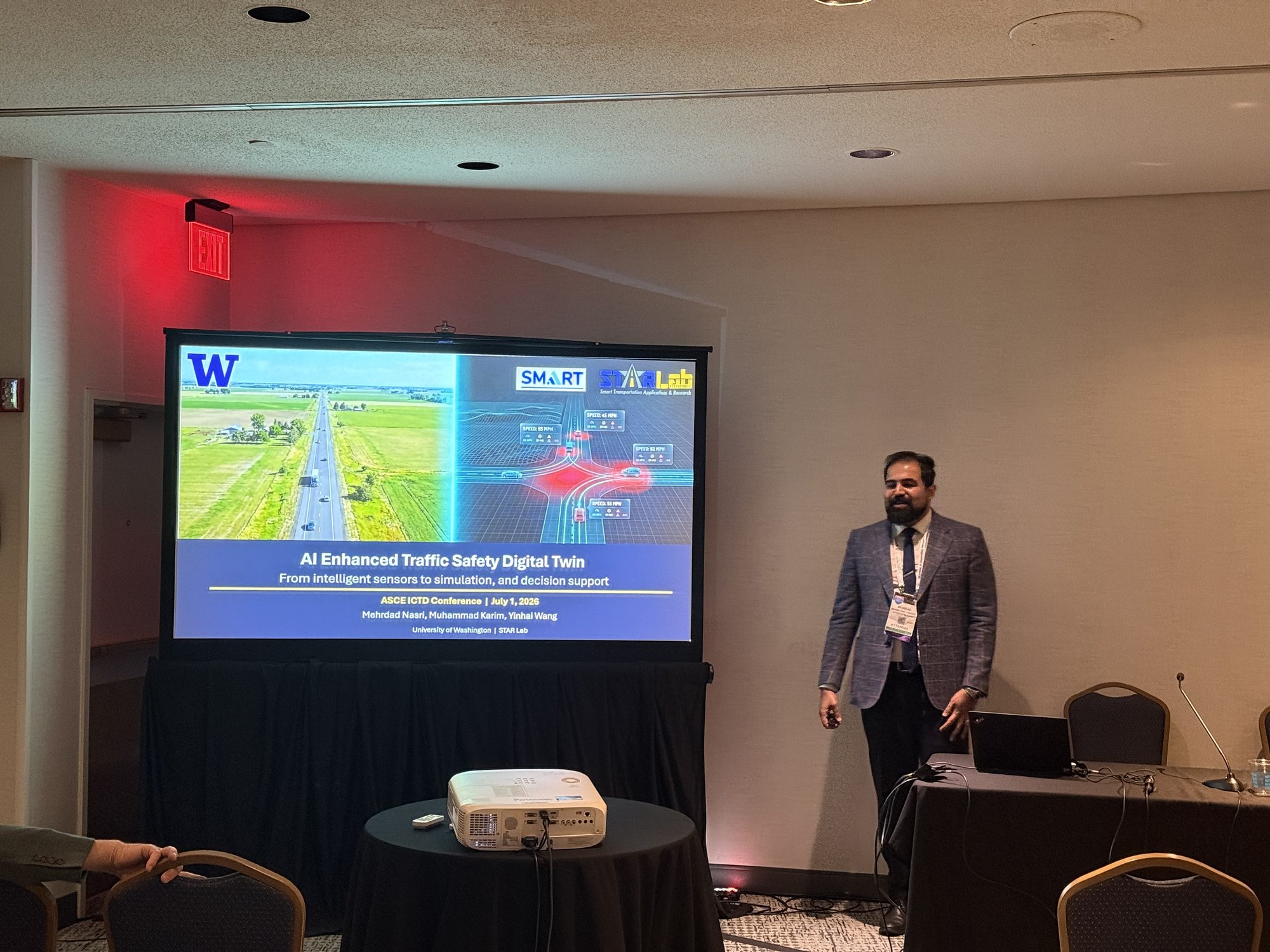
Digital twins can become more than animated simulations. My current work connects real-world observations, road-user tracking, SUMO simulation, surrogate safety measures, spatial risk maps, and comparative visualization in an integrated research environment.
The architecture distinguishes micro safety—individual road-user interactions and instantaneous conflict indicators—from macro safety, where risk accumulates by movement, intersection, corridor, and time. This makes it possible to explain both why risk occurs and where intervention may have the greatest value.
For tribal and rural corridors, the platform is being developed as a continuously synchronized decision-support system that can diagnose near-term safety states, test interventions before deployment, and translate sensor intelligence into driver-facing guidance through variable message signs. A local large-language-model pipeline also supports site screening and corridor-level safety audit reports without relying on cloud APIs.
